Connecticut Explored‘s special exhibition of large reproductions of historic maps, organized to celebrate its 10th anniversary in 2012, has toured around the state and is currently available to historical societies, museums, and libraries. What we love is that most host sites add maps from their own collections to make the exhibition worth seeing again and again. If you love maps, this is the exhibition for you!
READ STORIES FROM OUR There’s a Map for That! Spring 2012 ISSUE
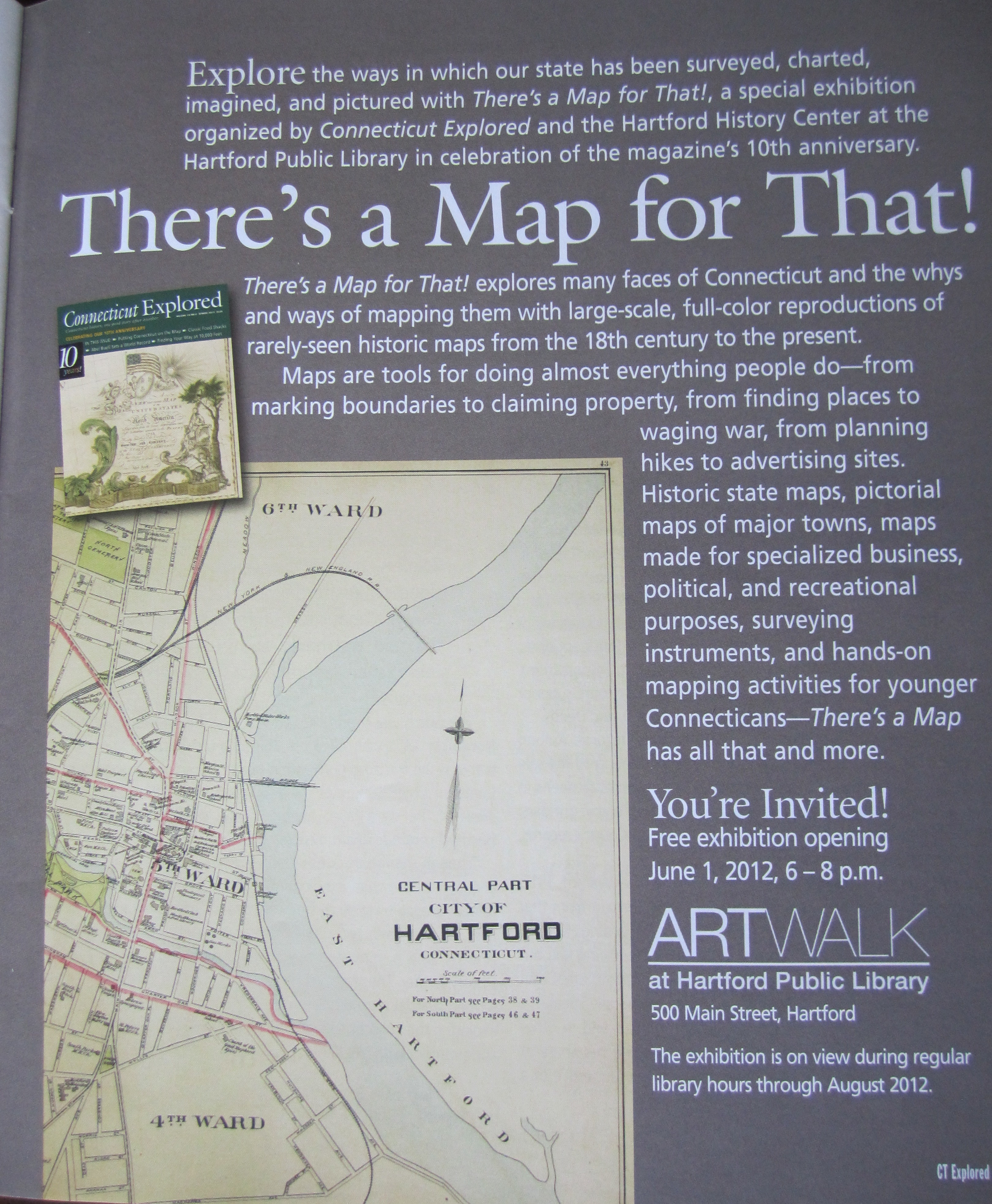
Exhibition Description
Explore the ways in which our state has been surveyed, charted, imagined, and pictured with There’s a Map for That!, a special exhibition organized by Connecticut Explored in celebration of the magazine’s 10th anniversary. There’s a Map for That! explores many faces of Connecticut and the whys and ways of mapping them with large-scale, full-color reproductions of rarely-seen historic maps from the 18th century to the present.
Modern cartographers think of maps as media for transmitting information about every kind of space and place. Like other kinds of pictures, maps select what they show according to purpose. Most are strictly practical. But some select for beauty as well as utility, and historic maps acquire uses their makers never intended by showing us past objects now vanished and past vacancies now occupied. In maps, science, art, and history all mingle.